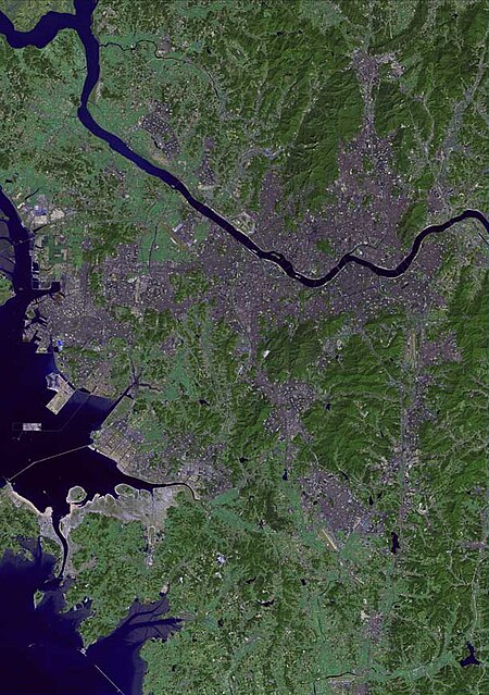
แม่น้ำฮัน (ประเทศเกาหลี)
| พื้นที่ลุ่มน้ำ | 35,770 ตารางกิโลเมตร (13,810 ตารางไมล์) |
|---|---|
| ต้นน้ำ | Taebaek Mountains |
| ความยาว | 494 กิโลเมตร (307 ไมล์)[1] |
| ปากน้ำ | Yellow Sea |
แม่น้ำฮัน (ประเทศเกาหลี)
| พื้นที่ลุ่มน้ำ | 35,770 ตารางกิโลเมตร (13,810 ตารางไมล์) |
|---|---|
| ต้นน้ำ | Taebaek Mountains |
| ความยาว | 494 กิโลเมตร (307 ไมล์)[1] |
| ปากน้ำ | Yellow Sea |
เมนูนำทาง
แม่น้ำฮัน (ประเทศเกาหลี)ใกล้เคียง
แหล่งที่มา
WikiPedia: แม่น้ำฮัน (ประเทศเกาหลี)